Padina–Peștera · Bucegi · Romania · 45°24′ N 25°26′ E · 1 546 m
Base Bucegi
02 / 08 · Pick a trail
Every trip we run starts and ends in one glacial valley under the Bucegi plateau: Padina–Peștera, at 1 546 m. One road in, thirty-five trails out. This page is the map briefing you'd get on night one — read it now and arrive already oriented.
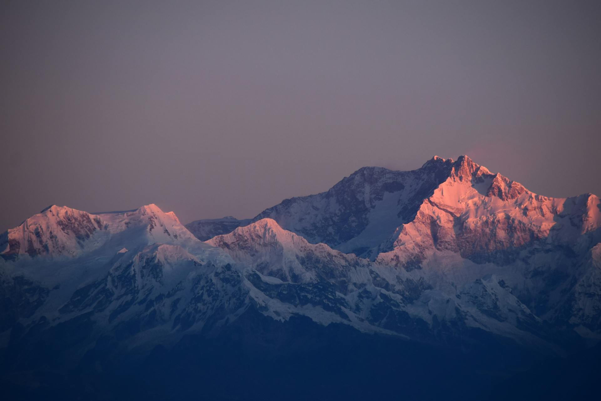
The valley
Four rooms of one house
The Padina plateau
1 546 m · base altitudeA wide glacial shelf of alpine meadow, ringed by limestone walls. Our cabanas and guesthouses sit here. Mornings smell of woodsmoke and wet grass; the weather writes the day's plan and we adjust.
Ialomița Cave & monastery
20 min walk · blue crossA monastery built into the mouth of a cave, guarding the valley's southern gate since the 1500s. Cold air pours out of the mountain behind the altar. Monks still live here; we visit as neighbours, not as a tour bus.
Horoaba & Tătarul gorges
yellow stripe · half dayThe Ialomița river cuts the white stone into corridors barely wider than your shoulders. Cold air, moss, the river arguing with the rock. In spring the walls run with water.
The ridge
red stripe · 2 505 mTwo hours above the base the plateau opens: the Sphinx, Babele, and the long silent walk to Omu peak — the roof of the Bucegi. On a clear day you see the Danube plain on one side and Transylvania on the other.
Getting here
Two hours from the airport gate
We meet you at arrivals
Bucharest OTP airport, name on a card. No transfers to figure out, no rental car needed — full-expedition guests are driven door to door.
The road climbs
Motorway, then foothills, then the Moroeni serpentines into Bucegi Natural Park. The last kilometres are gravel — that's how you know it's working.
Boots on by afternoon
Check in, coffee, gear check, and a first short walk to the cave before dinner. Altitude here is gentle — no acclimatisation drama, just cleaner air.
The valley has beds with your name on them:
See where you'll sleep →